Barkla
Contents
Barkla
(formerly Langrenus A)
|
Lat: 10.7°S, Long: 67.2°E, Diam: 42 km, Depth: 2.91 km, Rükl: 49 |

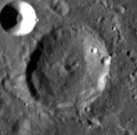
LO-IV-184H Barkla is in the center with 17-km diameter Langrenus M in the upper right.; LRO WAC mosaic
Images
LPOD Photo Gallery Lunar Orbiter Images Apollo Images
Maps
(LAC zone 80C2) LAC map Geologic map LTO map
Description
Description: Wikipedia
Additional Information
- Depth data from Kurt Fisher database
- Westfall, 2000: 2.91 km
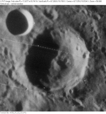
- The shadows in LO-IV-184H give a depth of about 3000 m. The central peak is a little over 900 m tall. - Jim Mosher
Nomenclature
- Named for Charles Glover Barkla (1877-1944), a British physicist and Nobel laureate.
- This replacement name for a formerly lettered crater was introduced on LTO-80C2 (for which it served as the chart title).
LPOD Articles
Bibliography
