Kuo Shou Ching
Contents
Kuo Shou Ching
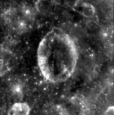
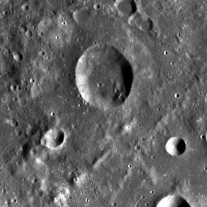
| Lat: 8.4°N, Long: 133.7°W, Diam: 34 km, Depth: km, Rükl: (farside) |


left: Clementine . right: LROC . The linear ridges below Kuo Shou Ching are inner ring structures of Hertzsprung basin .
Images
LPOD Photo Gallery Lunar Orbiter Images Apollo Images
Maps
(LAC zone 70B3) USGS Digital Atlas PDF
Description
Description: Wikipedia
Additional Information
Nomenclature
Chinese astronomer (1231-1316).
LPOD Articles
Bibliography