Difference between revisions of "Western Limb Radar Map"
(Created page with "<div id="content_view" class="wiki" style="display: block"> {| class="wiki_table" | sband_finder_map50pc.jpg<br /> | From the PDS intro...") |
|||
| Line 2: | Line 2: | ||
{| class="wiki_table" | {| class="wiki_table" | ||
| | | | ||
| − | [[Image: | + | [[Image:Sband_finder_map50pc.jpg|sband_finder_map50pc.jpg]]<br /> |
| | | | ||
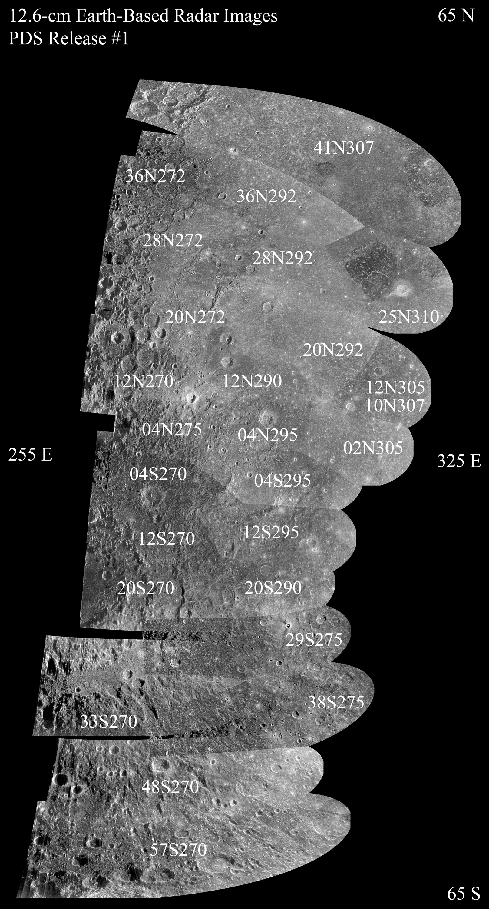
From the PDS introduction to the S-Band Radar Images:<br /> ''This data set contains dual-polarization backscatter maps of the lunar nearside collected at a wavelength of 12.6 cm (S-band), using the 305 m Radio Telescope at Arecibo to transmit and the NRAO's 105 m Robert C. Byrd Green Bank Telescope to receive. The data were provided by Bruce Campbell of the Smithsonian Institution's Center for Earth and Planetary Studies and archived by the PDS Geosciences Node.''<br /> <br /> The index map for the new 12.6 cm radar images is a large [http://pds-geosciences.wustl.edu/lunar01/arcb_nrao-l-rtls_gbt-5-12.6cm-v1/slrm_90xx/browse/ file]. So I've down-loaded it and made it smaller so that you can easily identify which detailed image to look to see pieces of the limb.<br /> <br /> There are three different versions of these radar images:<br /> | From the PDS introduction to the S-Band Radar Images:<br /> ''This data set contains dual-polarization backscatter maps of the lunar nearside collected at a wavelength of 12.6 cm (S-band), using the 305 m Radio Telescope at Arecibo to transmit and the NRAO's 105 m Robert C. Byrd Green Bank Telescope to receive. The data were provided by Bruce Campbell of the Smithsonian Institution's Center for Earth and Planetary Studies and archived by the PDS Geosciences Node.''<br /> <br /> The index map for the new 12.6 cm radar images is a large [http://pds-geosciences.wustl.edu/lunar01/arcb_nrao-l-rtls_gbt-5-12.6cm-v1/slrm_90xx/browse/ file]. So I've down-loaded it and made it smaller so that you can easily identify which detailed image to look to see pieces of the limb.<br /> <br /> There are three different versions of these radar images:<br /> | ||
Latest revision as of 02:22, 16 April 2018
|
From the PDS introduction to the S-Band Radar Images:
|
