Rupes Mercator
Contents
Rupes Mercator
| Lat: 31.0°S, Long: 22.3°W, Length: 132,4 km, Height: km, Rükl: 63 |
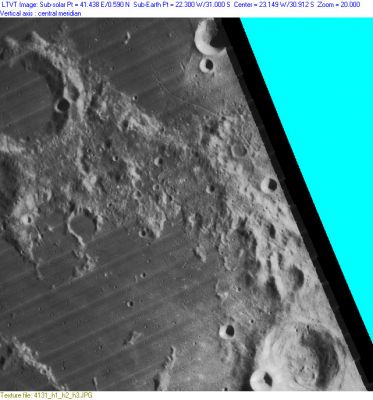
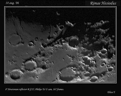
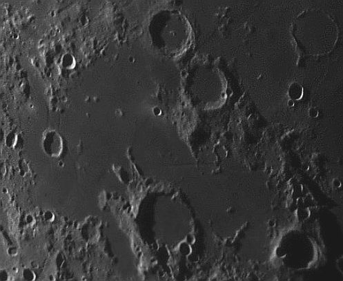
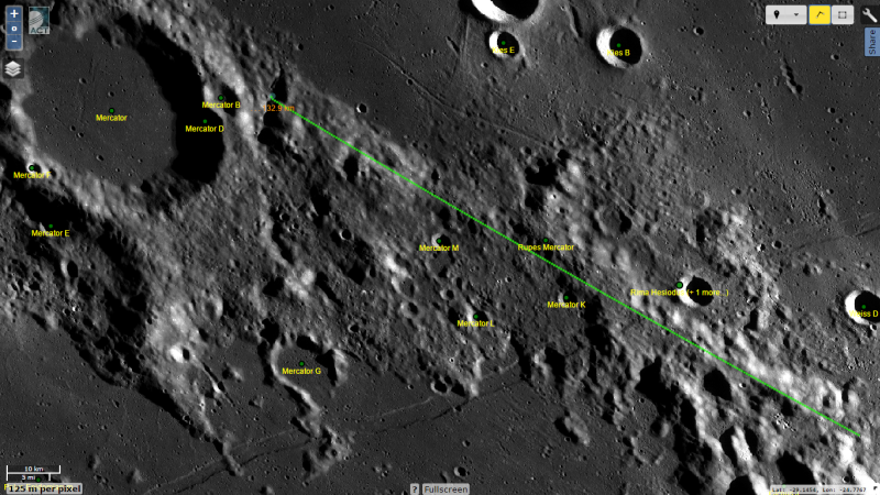
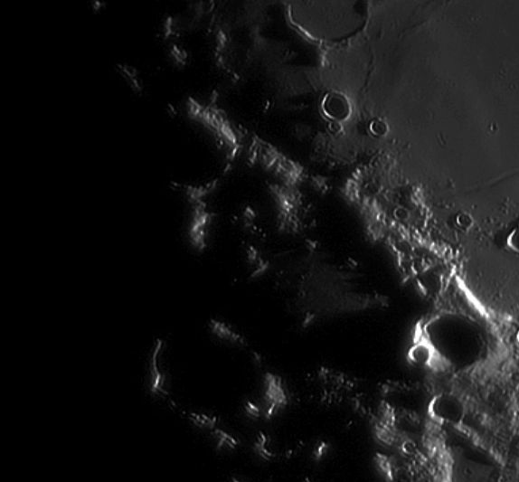
upper left: Lunar Orbiter IV - High Resolution upper right: Eliza T. (north to left), middle left - Rupes Mercator in the evening: Peter Oberč, Slovenia, moddle right: LRO, bottom left - Rupes Mercator in the morning: Peter Oberč, SLO
Images
LPOD Photo Gallery Lunar Orbiter Images
Maps
(LAC zone 94D3) LAC map Geologic map
Description
This is a short ridge, one of the few remaining parts of the rim (interpreted) of the Nubium Basin. All basin rims are places where the terrain inside the rim has moved downward compared to that beyond it, but there is no evidence that this rim arc is a fault. The classic rupes or faults on the Moon have scarps, and although Rupes Mercator casts a straight shadow, it does not have a scarp face and thus labelling it a rupes is unwarranted.
Description: Wikipedia
Additional Information
Nomenclature
Named after nearby crater. (Mercator)
LPOD Articles
Bibliography