De Vries
Contents
De Vries
|
Lat: 19.9°S, Long: 176.7°W, Diam: 59 km, Depth: km, Rükl: (farside), Upper Imbrian |


Left: Zond 8 Frame 55. Right: Color-coded topography LAC 104 image from USGS Digital Atlas.
Table of Contents
[#De Vries De Vries]
[#De Vries-Images Images]
[#De Vries-Maps Maps]
[#De Vries-Description Description]
[#De Vries-Description: Wikipedia Description: Wikipedia]
[#De Vries-Additional Information Additional Information]
[#De Vries-Nomenclature Nomenclature]
[#De Vries-LPOD Articles LPOD Articles]
[#De Vries-Bibliography Bibliography]
Images
LPOD Photo Gallery Lunar Orbiter Images Apollo Images
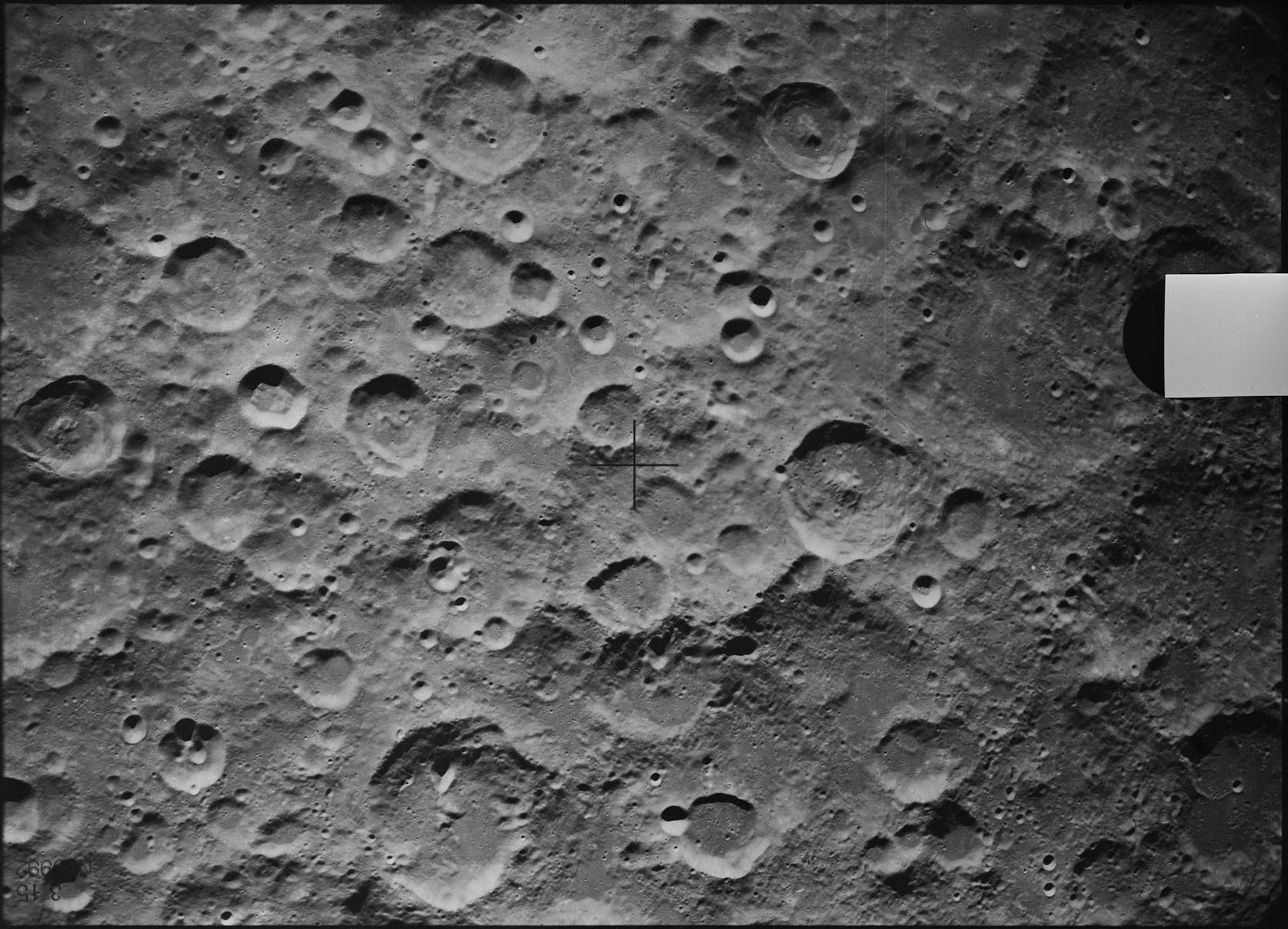
- Frame 55, made by Zond 8, shows De Vries rightward of the frame's central cross (De Vries is the crater with the pronounced central peak and the small bowl-shaped craterlet at the northern part of its rim). NB. The image here has to be turned 90 degrees clockwise to orientate it to North (at top) and East (at right).
- Frame AS8-18-2836, made during the mission of Apollo 8, shows a southward-looking oblique view at De Vries and its pronounced central peak. Scan by David Woods and Frank O'Brien (Apollo 8 Flight Journal).
Research Zond 8 and Apollo 8 photographs: Danny Caes
Maps
Description
Description: Wikipedia
Additional Information
Nomenclature
Hugo Marie; Dutch botanist (1848-1935).
LPOD Articles
Bibliography
This page has been edited 1 times. The last modification was made by - tychocrater tychocrater on Jun 13, 2009 3:24 pm - afx3u2