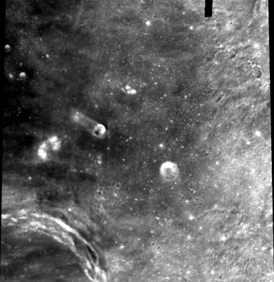
Sinus Lunicus
Contents
Sinus Lunicus (Luna 2 site)
| Lat: 31.8°N, Long: 1.4°W, Diam: 126 km, Depth: km, Rükl: 12 |
Images
LPOD Photo Gallery Lunar Orbiter Images Apollo Images
Although there seems to be nothing for Sinus Lunicus in the LPI's database of orbital Apollo photographs, this region was frequently photographed on northward looking magazine REV 35 made by Apollo 15's Fairchild mapping-metric camera. Perhaps the best frame of REV 35 is AS15-M-1540 which shows Sinus Lunicus at centre of the triangle made by the large craters Archimedes, Aristillus, and Autolycus.
Research: Danny Caes
Maps
(LAC zone 41A2) LAC map Geologic map LM map
Description
Description: Wikipedia
Additional Information
Is the pinpoint location of Luna 2's small impact craterlet already known? (perhaps detected on Hi-Res photographs made by the Lunar Reconnaissance Orbiter).- DannyCaes Oct 30, 2015
Nomenclature
"Lunik Bay" - impact area of Luna (Lunik) 2.
LPOD Articles
Bibliography
