Bergstrand
Contents
Bergstrand
| Lat: 18.8°S, Long: 176.3°E, Diam: 43 km, Depth: km, Rükl: (farside) |
|
|


Images
LPOD Photo Gallery Lunar Orbiter Images Apollo Images
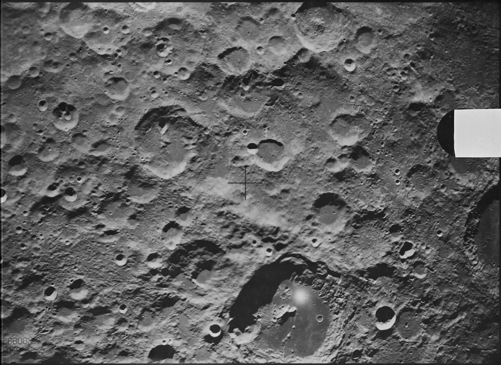
Frame 60, made by ZOND 8, shows Bergstrand rightward of the frame's central cross. Research: Danny Caes
Maps
Description
Bergstrand has impacted close to Aitken crater in the north-west -- a crater of the Late (upper) Imbrium period (~ 3.85 to 3.8 bn years), which has itself formed on deposits of the huge South Pole Aitken Basin -- a 2500 kilometre-wide basin of the pre-Nectarian period (~ 4.6 to 3.92 bn years) predominatly in the south-east. Bergstrand's rim is slighly oval-shaped in a north-south direction -- both cardinal extremes of which show signs of collapsed material in towards its pock-marked floor covered in hundreds of small craters. Is this collapsed inner-rim material a sign of the age of Bergstrand, or is it due to the material make-up on which it formed (note how craters on this inner-rim material has less number of small craters than those showing on the floor)? - JohnMoore2
Description: Wikipedia
Additional Information
Nomenclature
Carl Östen Emanuel; Swedish astronomer (1873-1948).
LPOD Articles
Bibliography