Robertson
Contents
Robertson
|
Lat: 21.8°N, Long: 105.2°W, Diam: 88 km, Depth: km, Rükl: (farside), Copernican |
Table of Contents
[#Robertson Robertson]
[#Robertson-Images Images]
[#Robertson-Maps Maps]
[#Robertson-Description Description]
[#Robertson-Description: Wikipedia Description: Wikipedia]
[#Robertson-Additional Information Additional Information]
[#Robertson-The wrong ray system! The wrong ray system!]
[#Robertson-Nomenclature Nomenclature]
[#Robertson-LPOD Articles LPOD Articles]
[#Robertson-Bibliography Bibliography]


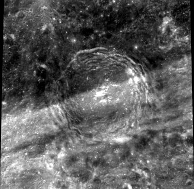
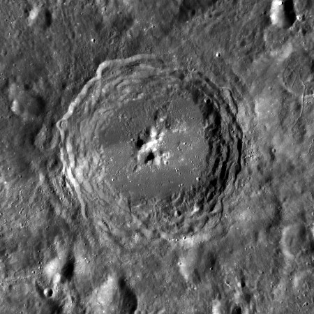
left: Clementine . right: LROC Nice Tycho-like crater, its lower half is crossed by bright rays from nearby Ohm .
Images
LPOD Photo Gallery Lunar Orbiter Images
Maps
(LAC zone 54D1) USGS Digital Atlas PDF
Description
Description: Wikipedia
Additional Information
- Central peak composition: GNTA1 & GNTA2 (Tompkins & Pieters, 1999).
The wrong ray system!
The lunar farside on the revised moonmap of the National Geographic Society (THE EARTH'S MOON) shows a ray system around Robertson. Totally wrong! It should be around Ohm, the crater to the southwest of Robertson. - DannyCaes DannyCaes Oct 7, 2015 (I am the world's most awful nitpicker in selenography, but I know why!).
Nomenclature
Howard Percy; American physicist, mathematician (1903-1961).
LPOD Articles
Bibliography
This page has been edited 1 times. The last modification was made by - tychocrater tychocrater on Jun 13, 2009 3:24 pm - afx4